Hydrogeology Laboratory |
| |
|
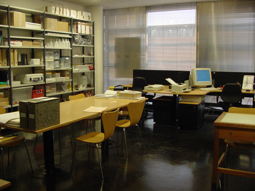
Figure 1 -
General view of the laboratory
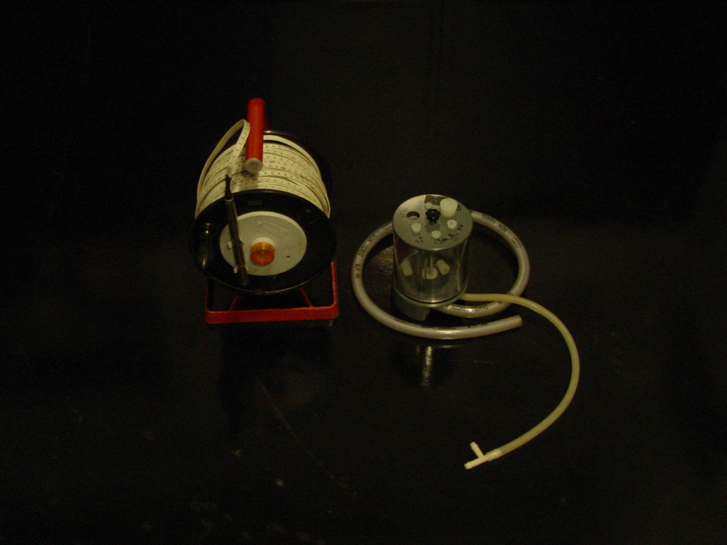
Figure 2 -
Water-level dip meter and
flux cell
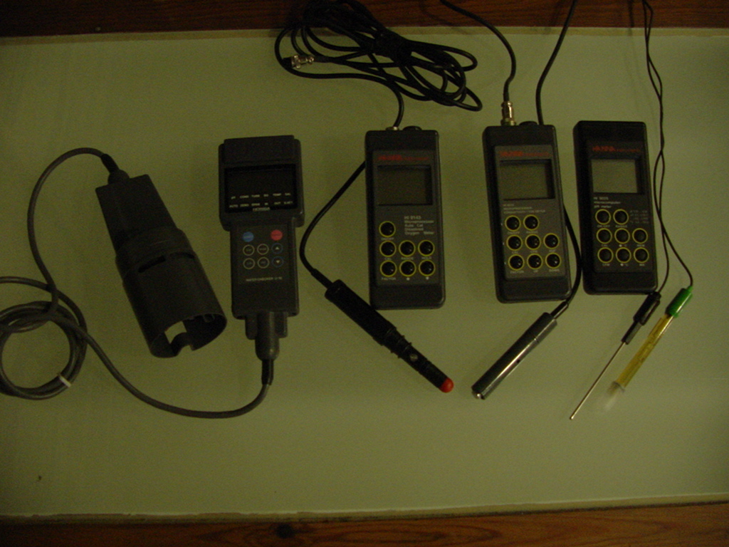
Figure 3 - Measurers
of chemical characteristics of underground waters
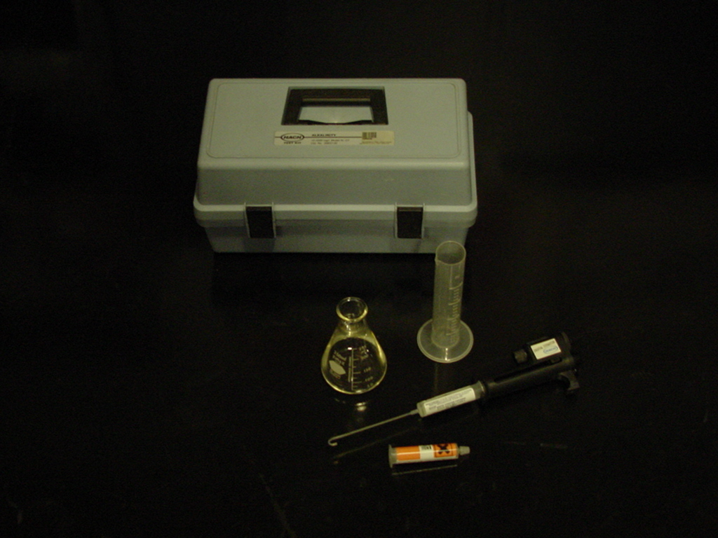
Figure 4 - Kit for
determining alkalinity in the field
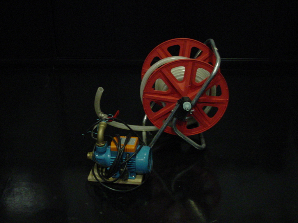
Figure 5 -
Water pump and respective hose
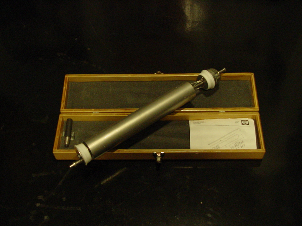
Figure 6 -
Groundwater depth sampler
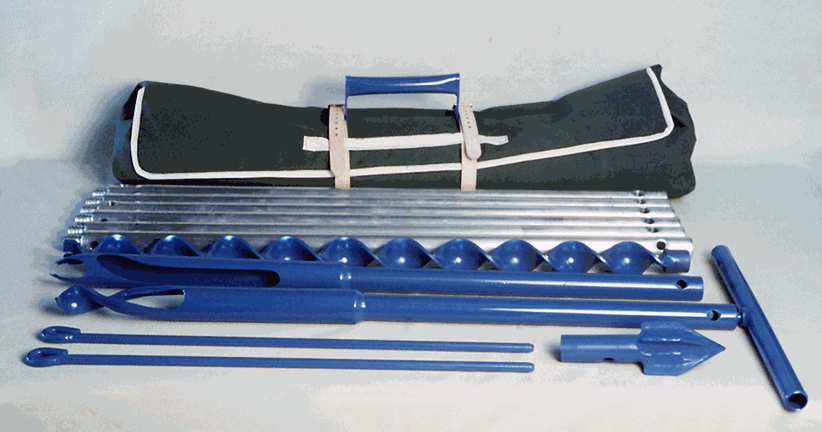
Figure 7 -
Hand-auger for soil and unsaturated zone sampling
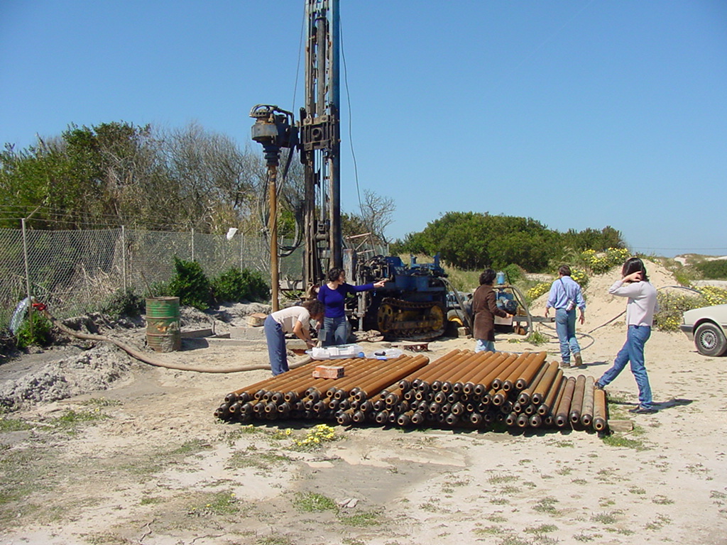
Figure 8 -
Construction of Captations. Artesian holes in the
Vagueira
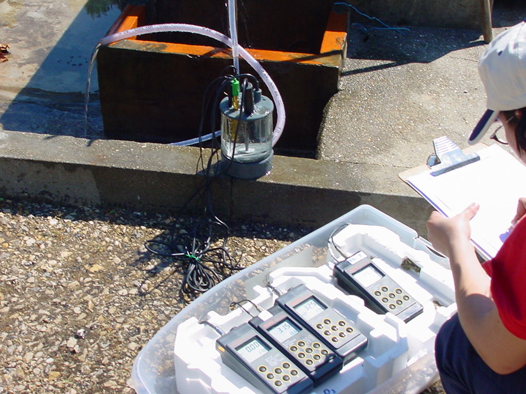
Figure 9 - Sampling
and monitorization underground water
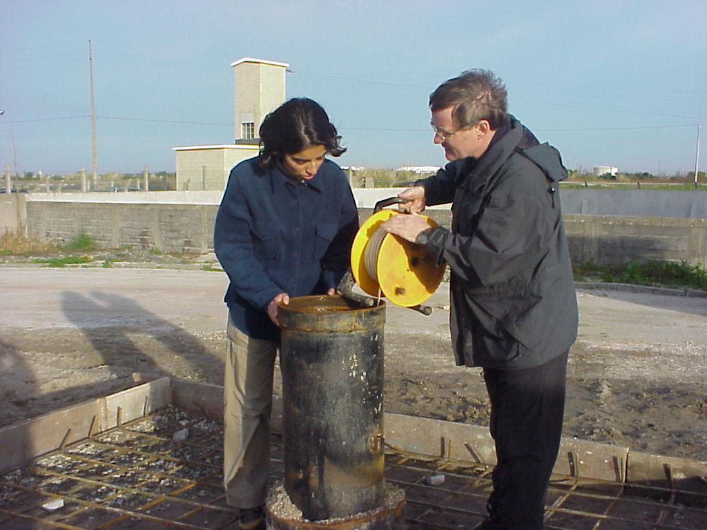
Figure 10 -
Measurement of the water level
|
Coordinator: |
Manuel Augusto
Marques da Silva |
|
|
Equipment: |
-Water-level dip meter and
flux cells (Fig. 2)
-Temperature,
pH, electrical conductivity, salinity, redox potential
and dissolved oxygen probes (Fig. 3)
-Portable magnetic agitator (Hanna®)
-Kit Hach® for alkalinity measurement (Fig. 4)
-Water pump + hose (Fig.5)
-Groundwater depth sampler
(Fig. 6)
-Hand-auger for soil and unsaturated zone sampling (Fig.
7)
-LASA 100 Dr Lange® portable photometer
for laboratory and field work
-Flow meter and limnigraphs
-GPS tracker Magellan®
-2 PC + 2 printers + scanner + zip disk, maps, geological
maps,
specialized magazines
1 and specific bibliography
|
|
|
Software:
|
Viewlog®,
ArcView®,
Visual Modflow Pro®,
AquiferTest®,
AquaChem®,
SigmaPlot® |
|
|
Objectives: |
In this laboaratory
investigation work is developted (Fig. 8,
Fig. 9,
Fig. 10)
in the domain of Hydrogeology (construction of captations, diagraphs, hydrogeochemistry,
paleohydrology, hydrogeochemistry modelation and
underground flows, studies of environmental impact),
collaborating, within this domain, with mainy portugues2
and foreign3 institutions
for a better evaluation and protection of the resources
of the underground water. It also serves as support for
lab classes of Hydrogeology, General Hydrology Seminar,
Project of the 5th year and to pos-graduate essays, not
only on the area of Hydrogeology but also in other areas
(Soil Geochemistry, Applied Geophysics, Minerals and
Industrial Rocks, GIS).
________________
|
|

|
 |
|
